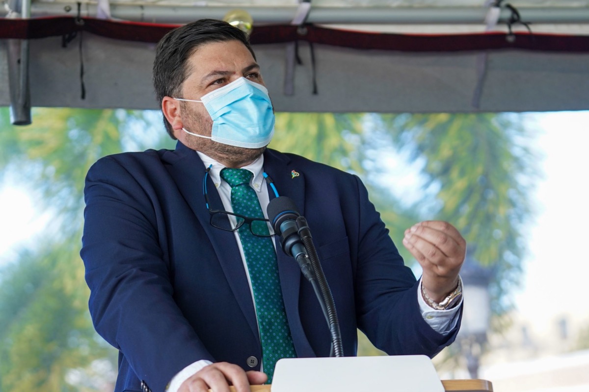

Carlos Mellado, secretary of health of Puerto Rico. (Courtesy of the Office of the Governor of Puerto Rico)
By Rafael R. Díaz Torres, Centro de Periodismo Investigativo
SAN JUAN, Puerto Rico — The Department of Health (DH), responsible for inspecting and approving the emergency evacuation plans of all the island’s hospitals, only keeps them for the three hospitals that it runs.
The agency’s Deputy Secretary’s Office for the Regulation and Accreditation of Health Facilities (SARAFS, in Spanish) does not keep a copy of the evacuation plans that it is supposed to have previously evaluated, and that could mean the difference between life and death for patients and employees. The information surfaced as part of a lawsuit in which the Center for Investigative Journalism (CPI, in Spanish) asked the DH for several documents and protocols related to emergency events.
“As part of the inspections, SARAFS personnel check that said plans comply with all the established requirements. However, a physical copy, on paper, digital or in any other way stored in an electronic device(s) of these plans is not delivered to SARAFS personnel, nor is it received by said personnel, nor is it retained in the record of the facilities that work in the SARAFS, so the Department of Health does not have them,” according to the certification that the DH submitted to the San Juan Superior Court as part of the case.
Responding to the request of the CPI, the DH limited itself to delivering the evacuation plans for the health centers it administers: the University Pediatric Hospital, the Adult University Hospital, and the Ramón Ruiz Arnau University Hospital.
“The other public hospitals mentioned in the motion DO NOT belong to the Department of Health and are managed by Public Corporations with a legally separate and distinct personality from that of the Department of Health, so the requested documentation must be sought from them directly,” the DH said regarding hospitals that are managed by other public entities such as the University of Puerto Rico and the State Insurance Fund Corporation.
The Pan American Health Organization states that access to information is essential to improve public management and citizen confidence in preparing for emergency events.
Lack of Information on Access to Hospitals During Emergencies
More than four years after Hurricane María hit, the DH only has a dotted map that specifies the location of all hospitals, diagnosis and treatment centers, primary health centers, and dialysis centers in Puerto Rico.
Rogelio González Sánchez, the Puerto Rico Planning Board’s (JP) director of Geographic Information Systems, told the CPI that the maps of priority routes in case of an emergency, which include alternate routes that connect with hospitals in the event of road and bridges collapse, are not ready either and that the JP, together with the Department of Transportation and Public Works and other agencies, is working with the Emergency Operations Center to produce that information.
Health Secretary Carlos Mellado believes that the municipalities should offer this information instead of the central government.
“Every time we go to a municipality, we first contact the mayor who knows specifically what the needs of the town are. Based on that, we make plans. Each municipality has a tracking system (for people with medical conditions that will need medical services in these emergencies). We count on the competence of the municipalities. We have staff who even call the mayors,” Mellado said at a press conference to the CPI about the availability of information for communities on access, routes, and maps that show how to get health services in case of emergency events.
When the mayor of Corozal was asked if the DH has requested information from the town’s local government, as Mellado said, to make plans according to the needs in case of emergencies, Luis García, of the New Progressive Party, said, “That information hasn’t been provided yet. We’re working on it internally. In the case of Corozal, we’re identifying the most vulnerable areas where there are bridges, to have an efficient plan in an emergency, where helicopters can land, where we can receive supplies.”
Several mayors of towns in the mountainous interior region agreed that their response during emergencies becomes more complicated if the central government does not provide the resources for each municipality to meet the needs of its citizens, including access to health services.


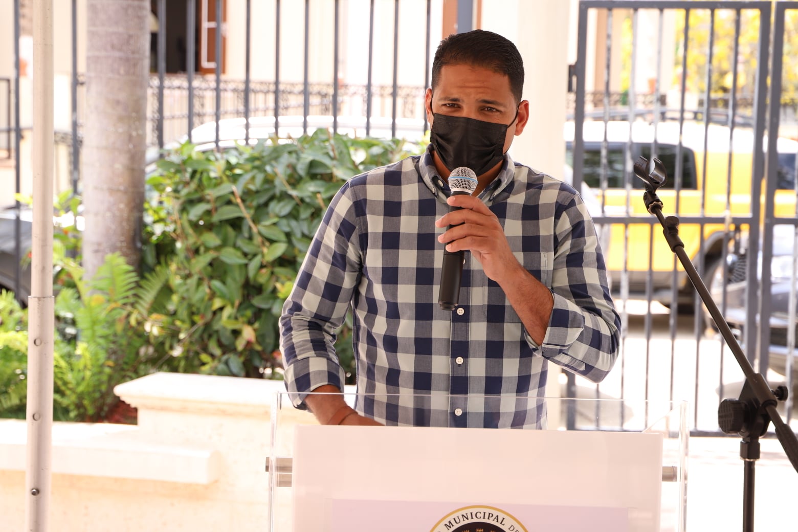
Corozal Mayor Luis García of the New Progressive Party is still compiling the information to make the plans. (Municipality of Corozal/Facebook)
“What we need is for the central government to understand that, if it recognizes that it has 78 local government structures and gives them the resources, it can assure with its head held high, ‘we are better prepared, we are responding better and supplies are reaching the people,'” Popular Democratic Party Comerío Mayor José Santiago told the CPI.
The mayor of Corozal agreed with Santiago. “Give us the resources. Waiting for the central government in a time of emergency will be a little more complicated when we can work internally with more efficiency.”
Not all municipalities have tracking systems to locate patients with medical conditions that will need special care during emergency events, and the tracking systems of the towns that do have one are different from one another. These systems and how each one collects the data are not standardized.
Other mayors interviewed by the CPI said they sometimes depend on the information provided by community leaders about the number of bedridden people, who the people with chronic conditions are, and where they live. The municipal executives also said these efforts are not coordinated with the DH and are handled locally.
Luis Hernández Ortiz, mayor of Villalba and president of the Puerto Rico Mayors Association, denied that there was communication and coordination as the Secretary of Health said there was. Furthermore, he explained that his town’s tracking system is an application that is still being developed, and that it is an exclusive initiative of his municipality.
“The municipalities really do the work here,” Hernández Ortiz told the CPI.
The “No Information in the Face of Disaster: Information Management for Socio-environmental Risk Management in Puerto Rico” report identifies some of the difficulties and shortcomings that Puerto Rico faced after the 2017 hurricanes when seeking access to basic services. The lack of data and information added up with an inadequate response, which, in turn, made health services inaccessible and caused excess deaths. Investigators Annette M. Martínez Orabona, Luis Avilés, Marinilda Rivera Díaz and Luis José Torres Asencio were commissioned to work on the report by the CPI.
Although the municipalities have a responsibility to produce and update data on the population’s health needs, the DH cannot evade its duty of coordinating the plans and making the information accessible at the central level, said José Seguinot Barbosa, professor at the Graduate School of Public Health of the University of Puerto Rico’s School of Medical Sciences.
“There are different levels of information, just as there are different levels of responsibility. He [Mellado] very well said that the municipality is the one that has the primary contact with the citizen… but the state government has a more comprehensive, a more homogeneous responsibility,” the specialist in medical geography told the CPI.
Since August of last year, the Legislature has been evaluating House Bill 936, which proposes creating Municipal Public Health and Epidemiology Offices. Seguinot Barbosa, the DH, and the presidents of the two mayors’ organizations all favor the measure.
Barbosa said the DH is responsible for coordinating with other central government agencies updates to road maps and routes to health centers in the event of an environmental emergency.
“You must have all this updated information and review it because, as we know, many roads open, many are closed, they get damaged, a bridge falls and you have to take an alternate route. Updating these maps is essential. If you have an event happening tomorrow and you don’t have that updated information, you’re probably going to make the wrong decisions. So, one of the essential things is to have updated route maps at least once a month. That isn’t so difficult because that is what GPS (Global Positioning Systems) are for,” the academic in public health said.
The availability of updated maps and information can make a difference for people who live far from urban centers or lack adequate transportation, said Barbosa.
“I call that the invisible population, the population that health systems and planners don’t see. People plan for those who have a car. It turns out that whoever has special conditions, who doesn’t have mobility, who can’t drive, is the one who is going to have the hardest time. I would say that the most important way to solve this type of situation is that you must have a record of all those people, their geographical location so that as soon as a disaster situation happens, you prioritize those people,” Barbosa said.
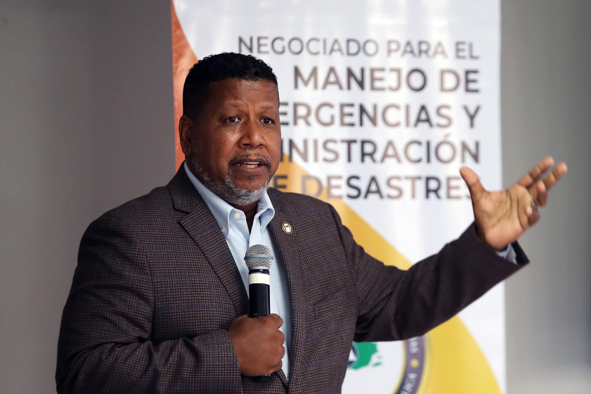
The interim commissioner of the Bureau for Emergency and Disaster Management (NMEAD, in Spanish), Nino Correa, acknowledged an “invisible population” that will be difficult to find and help in an emergency.
“At one point (after Hurricane María), I had to attend to 178 missing people. A population census had not been done for a long time. Since communications were down throughout the Island, everyone who had relatives in Puerto Rico and who lives off-island (in the United States) began asking about their relatives. When we arrived, the addresses had changed their name or number years ago in many places,” Correa explained.


“There are maps that have the name of the town and neighborhoods and sectors, but that’s how far they go. When you go down to sectors, sectors appear with any type of map or GIS (Geographic Information System), but you may see possible gaps in many of them. Let’s say we’re in Caguas, in the Polanco neighborhood, Terrera sector, and the Bermúdez, García and Ayala families come from that sector. That part had to be included manually there (in the maps) because to get to the Bermúdezes, you ask the mayor, and they may not know that there are people left because (the map) just shows the area. But you had to go to the field to find that out. When we arrived at the locations, we searched the neighborhood and asked about the people. It’s important that we know that these people are there. If they need help, we must get there,” added Correa.
In September 2021, the Department of Housing recognized the lack of centralized information for emergency preparedness, as well as the need to create a database that spatially organizes information that could be vital in responding to extreme natural events. The Puerto Rico Geospatial Infrastructure Program guidelines establish the standards to develop a Spatial Data Infrastructure in which a community of users, including government agencies and municipalities, can exchange information in a centralized manner.
“Puerto Rico doesn’t keep a complete SDI, and its existing cadaster is limited by inaccurate and inaccessible information. This challenged disaster responders to understand how Hurricanes Irma and María affected disaster-prone geographies and communities. Without this, disaster responders were navigating existing roads without mapping data, finding residents isolated by landslides and flooded waterways and locating residences with no physical addresses, informally constructed, unregistered and unknown outside of the immediate community,” according to the document prepared by the Department of Housing.
A $50 million allocation funds the creation of the Geospatial Infrastructure Program from the Community Development Block Grant Program for Disaster Recovery. One of the document proposals is to produce an SDI for critical infrastructure, including hospitals.
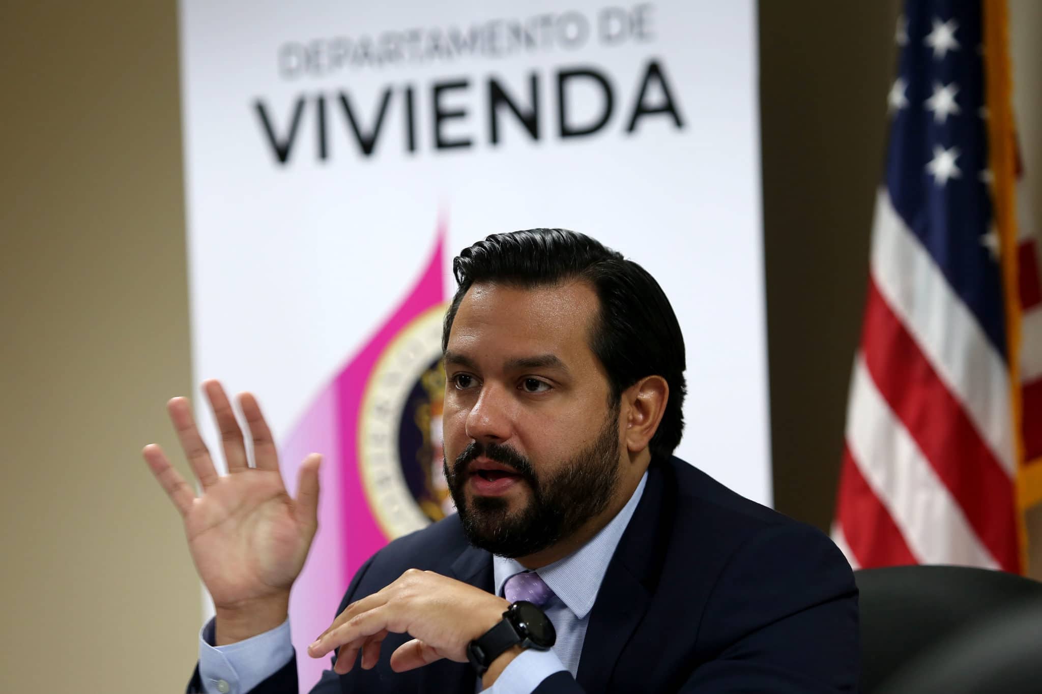
“Accurate spatial information will prevent an interruption in emergency services during future natural disasters by speeding up, for example, the response of specialized teams traveling on unmapped roads. Currently, no complete, secure data infrastructure provides information as precisely as needed. That is why we launched GeoFrame,” Housing Secretary William Rodríguez said in a press release.
Where Is the Information to Get Health Services When Another Hurricane or Emergency Strikes Puerto Rico?
The DH page has the Emergency Management Operational Plan available, corresponding to the 2021-2022 period. A previous version of the Plan (2019-2020) has 1,014 more pages than the current version and includes a list of the seven hub hospitals with oxygen concentrators, water supplies, electric and diesel generators. Of this group of seven, the Buen Samaritano Hospital in Aguadilla, in the northwest, and the Ryder Hospital in Humacao, in the east, were closed during Hurricane María.
The agency’s website also has a 2021 Public Health Manual on Emergencies and Disasters, which provides the community with general information and offices to contact in case of an emergency event.
One of the issues included in the current Emergency Management Operational Plan is the need to disseminate information about the risks to the communities. According to the document, “protection and prevention measures, as well as particular measures for special populations, will be published through press releases and/or the use of media and social networks.” However, the document does not present specific strategies or detail what type of information should be available at different stages of the emergency. The CPI requested an interview with the Secretary of Health to address this matter several times, but it was not granted.


Secretary of the Department of Housing, William O. Rodríguez Rodríguez (Gabriel López Albarrán/Centro de Periodismo Investigativo)
One of the documents requested as part of the lawsuit filed by the CPI was the protocol for providing the public with updated epidemiological information in an emergency event. After months of litigation, the DH provided a draft of this document, which is subject to review and “is in the internal discussion process to be made public.”
Prof. Barbosa suggested that public online tools, such as the dashboard that the DH has published since the beginning of the COVID-19 pandemic, could be helpful, as well as a permanent data website with information on the availability of services and health centers after a major natural event.
The DH also provided the CPI with a list of telephone numbers for patients with chronic conditions. However, the document is not available on the agency’s official website, which ensures that it coordinates medical transportation through the State Emergency Medical Services Bureau (EMS) or by calling the 911 system directly.
The Department of Health said that there is no protocol for dispensing medicines and getting treatment without the authorization of the health insurance plans. The strategies “will depend on the nature of the particular emergency and the needs of the people,” they said
The DH also assured the court that the Voluntary Registry of people with functional needs is no longer active. However, the agency admitted that “the Registry link is still up due to carelessness and negligence of the Department of Health.”
Dialysis Patients Still at Risk
When the DH was asked for the Plan for the Management of Dialysis Patients in Emergencies, the agency said, “This information must be requested from the companies that provide the service. The dialysis units of the Department of Health hospitals conduct readiness exercises, so that staff and patients become familiar with the plans, identify gaps and improve their emergency plans.”
“Each dialysis unit has a registry of its patients. What the Renal Network shares with us is the number of patients per dialysis unit. There are currently 6,372 registered patients. Of these, 13 are in Vieques. Culebra has no registered patients.”
Vieques and Culebra are two island municipalities off the east coast of Puerto Rico.
The Department of Health admitted that it does not have a protocol to supply food to kidney patients in periods of emergency. “During an emergency, the [dialysis] units can serve as places to feed their patients. The renal diet is restrictive and very specific, and if patients don’t have electricity at home, the dialysis units prepare food for them in their corresponding unit,” the agency stated.
It also has no shelters or areas equipped for dialysis patients. “Before an announced event (storm/hurricane), dialysis units advance treatment to their patients the day before to ensure continuity of treatment. If the patient is in a shelter, transportation to the nearest dialysis unit is coordinated with EMS.”
In the case of information on grocery, supplies, and their inventory warehouses, the DH referred the CPI to NMEAD and the Federal Emergency Management Agency. NMEAD’s Nino Correa said that this agency does not manage any supply warehouse, nor does it have the data available.
***
Rafael R. Díaz Torres is a member of Report for America.


